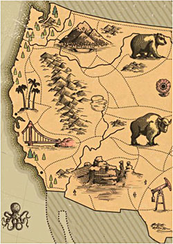
Since 2002, Mr. Cook has been mapping and exploring the roads of California to find routes that allow sports car owners a way to enjoy their car. Each route listed has been used or pre-driven in order to see if it is driveable (subject to change as CA roads are not maintained), fun, and offers a scenic aspect that makes it great for photos.
The routes listed include a starting meet up point, photo spots used, and if a longer route, a lunch destination. If you use these maps on for your driving group, club, or social media, please make sure to site the website as there has been a lot of work put in to share these routes for driver’s enjoyment.
Remember, road conditions do change, so always drive roads with caution. If providing credit for routes used, please reference the main site and or this page.
Start: 45 Camino Alto, Mill Valley, CA
Lunch: 3495 Dry Creek Rd, Healdsburg, CA
Photo stops: Coast pullouts / Hauser Bridge
Distance: 137 Miles
